Nebraska Drone Services for the Work That Matters

DroneX provides aerial application, crop scouting, aerial surveying, and mapping for Nebraska farms and project sites. We collect clear imagery and usable field data to support planning, documentation, and timely decisions.

Drone Inspections
Part 107 Certified Pilots

Drone Services Built for the Field

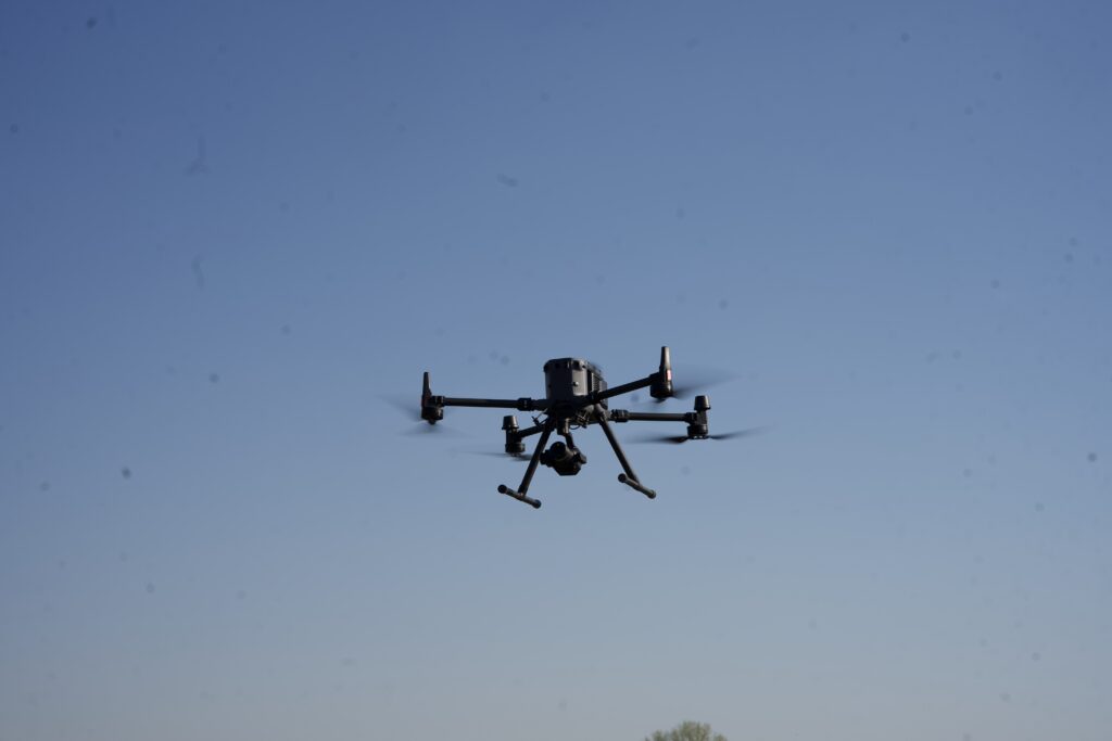
DroneX provides aerial application, crop scouting, RTK mapping, and aerial data collection for Nebraska farms and project sites. We use professional drone systems to capture useful information, document conditions, and support better decisions in the field.

DroneX Services

Our pilots have been flying for years. We use drones that actually work in tough conditions. You’ll see real results across farming, construction, inspections, drone sales, and emergency response.

Agricultural Drone Services

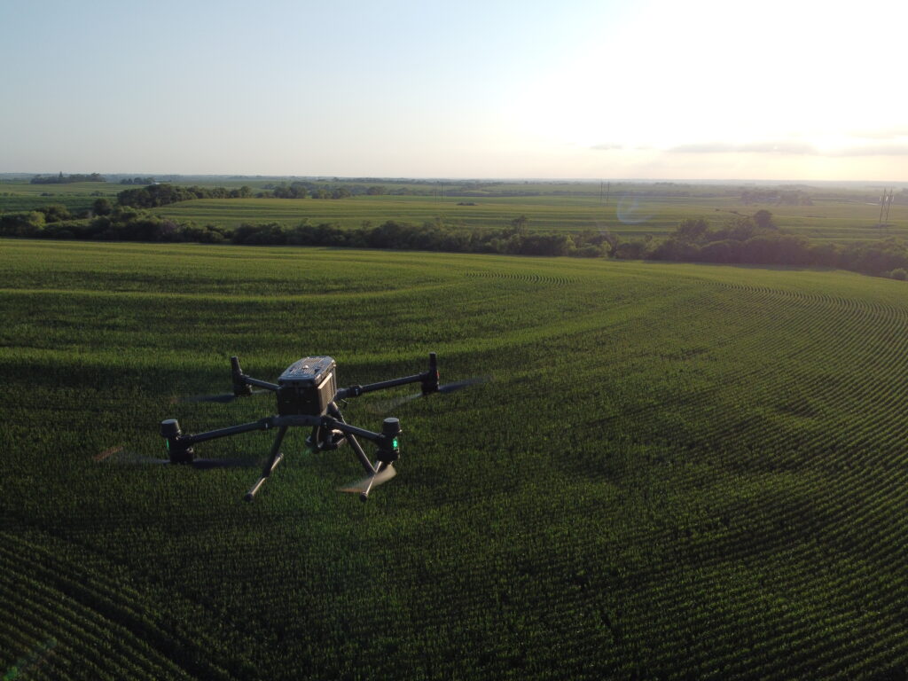
Get even crop coverage when you spray and track field health from planting to harvest with our specialized agricultural drone mapping. Our farm drones help you waste fewer chemicals and improve your harvest by identifying exact areas of stress or irrigation failure. Instead of walking every acre, you get high-altitude reports that show exactly where to direct your resources, saving you money and helping you grow a better crop this season.

Drone Sales

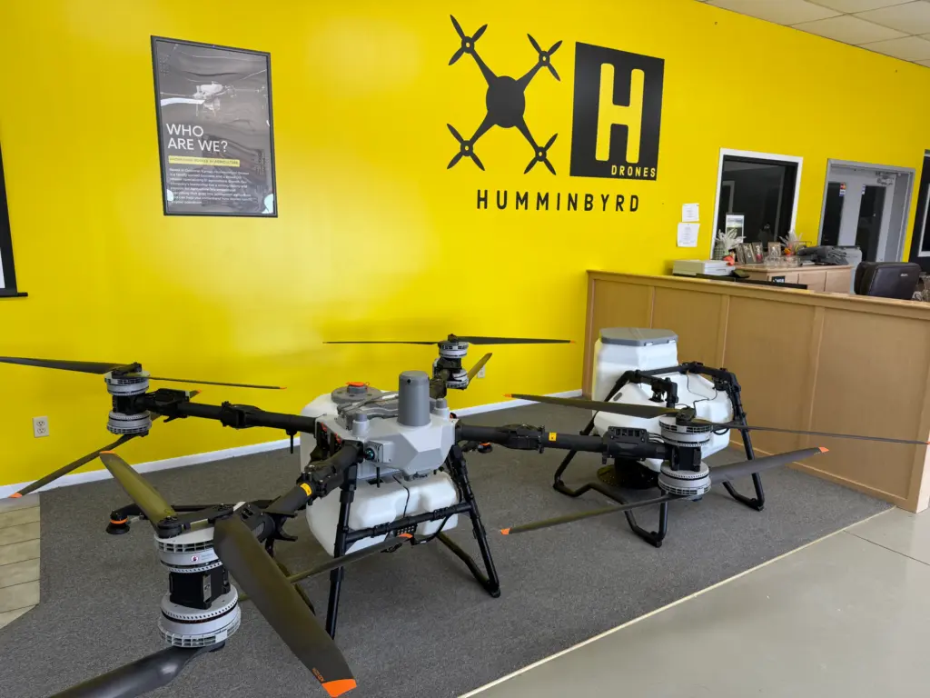
Want to buy your own equipment? We sell commercial models that handle farm work and building inspections without quitting in the Nebraska wind. Our team helps you pick the right unit for your specific job and handles the initial setup so you can fly with confidence from day one. Have questions after your purchase? We provide the local support and technical advice that big-box stores can’t offer.

Drone Inspection Services in Omaha, NE

Drone Inspections

No more climbing ladders or renting expensive scaffolding that eats up your profit. Our drone inspection missions get up close to roofs, towers, and tall buildings safely and efficiently. You’ll see cracks, loose shingles, and structural problem areas with sharp-focus clarity. It’s faster than sending a crew up and keeps your workers safely on the ground while delivering a professional report within 24 hours.

Construction Drone Services

Track your building progress from above and see exactly what’s happening on-site every week. We regularly fly over to obtain high-resolution updates and identify issues before they lead to expensive rework. You’ll get a visual timeline and b-roll of your project’s development, which is perfect for keeping clients and investors in the loop without the hassle of manual site visits.

Search and Rescue

Find missing people faster with rapid-response aerial support when time is the only thing that matters. Our drones feature thermal cameras and live video feeds that help search teams cover massive areas in minutes. Rescue teams see what’s happening in real-time, not hours later. When we get an emergency call, we move immediately to provide the life-saving data required.

Aerial Surveying

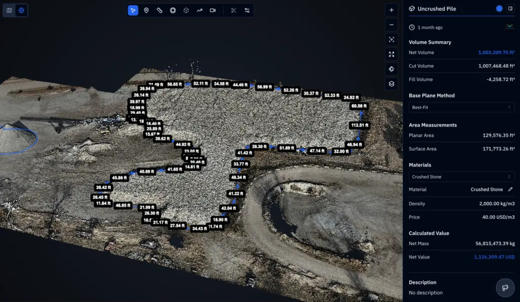
Our aerial surveying services give you accurate, up-to-date field data to make better management decisions. Identify drainage issues, measure volumes, map boundaries, and monitor changes across your operation without the time and cost of traditional methods. With fast turnaround and reliable results, you can act quickly and confidently using data that integrates directly into your existing workflows.

Precision Drone Services Built for the Field

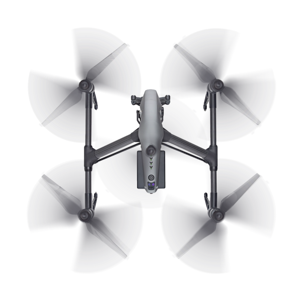
DroneX provides aerial application, crop scouting, aerial surveying, and mapping for Nebraska farms and project sites. We use professional equipment and field-ready workflows to collect clear imagery and practical data that support better decisions in the field.

Safety-First Operations

Every mission is planned around site conditions, airspace, equipment checks, and applicable regulations.

Field-Ready Setup

Our mobile mix/load trailer and on-site power support efficient, self-contained operations in the field.

Precision From Start to Finish

RTK positioning and professional drone systems support accurate application, mapping, and scouting deliverables.

Have a Question? find your answer

What industries does DroneX serve?

We work mainly with farms, construction companies, inspection teams, and rescue operations, but we also provide custom solutions for real estate and marketing.

Yes, every pilot on our team is FAA Part 107 certified and fully insured for commercial operations.

Absolutely. We adjust our services and gear based on what your specific project needs — no cookie-cutter approach here.

How quickly can DroneX deploy drone services?

We typically schedule flights within a few days, but we prioritize urgent inspection or rescue jobs.

Yes. We process all footage into reports, maps, and visuals you can share with your team or present to clients.

Absolutely. We stock and support professional units built for industrial and agricultural work.